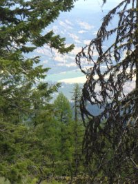
The Thompson Ridge Trail traverses granite outcrops at the top of the ridge
Description: The Thompson Ridge Trail follows an old logging road along the granite outcrops at the top of the ridge. Since the National Forest System Road 6110, commonly known as South Fork Boulder Creek Road washed out in 1998, the northern trailhead currently acts as the terminus (turn-around point) of this trail. If you are starting from the southern trailhead, you may want to turn back before the steep descent the begins 3 miles to the north.
[flexiblemap src=”https://newashingtontrails.com/KML/ThompsonRidge.KML?v=2″ width =”300″ height=”400″ maptype=”terrain”]
