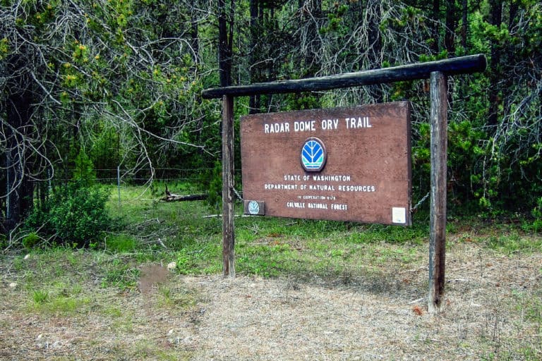
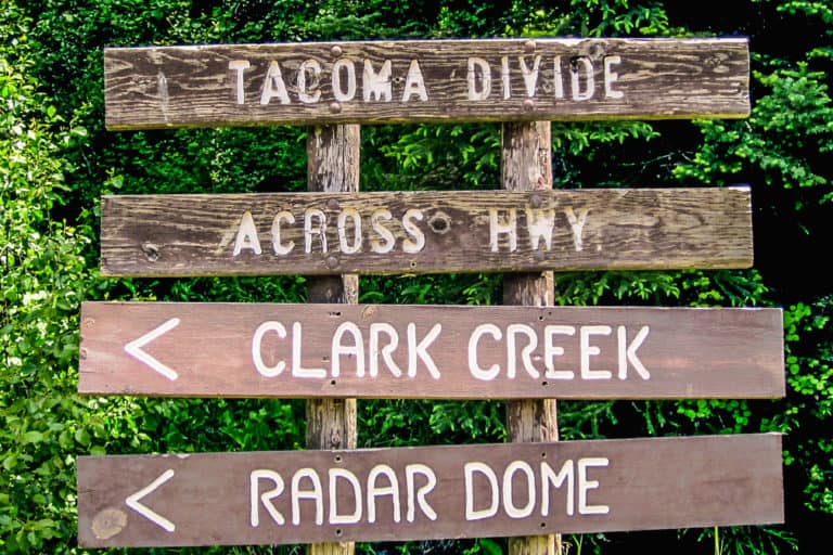
Radar Dome Trail
Radar Dome Trailhead is a great starting point for dirt bikers and mountain bikers. From the trailhead you can access miles of single-track trails.
Camping is available at Flodelle Creek and Sherry Creek Campgrounds at either end of the Tacoma Divide and Flodelle Creek trails. A Discover Pass is needed to park on State Land. Camping is allowed in designated campsites only. The trail ties into USFS Trail #142. Clark Creek cuts off and ties into the Sherry Creek Campground. Dry mountain, wet creek bottoms and forested terrain affords challenges for skilled riders, but hikers enjoy this trail, too!

Radar Dome Trail
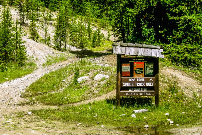
Motorized vehicle users: Make sure you have your MVUM with you!
Motor Vehicle Use Maps (MVUM) are the official maps for designating all roads and trails available for public motorized travel on the Colville National Forest. Visitors should not rely on any other map for making decisions about motorized travel. A MVUM is a legally enforceable document that identifies the roads, trails, and areas where motor vehicle use is allowed in a Forest Service administrative unit or ranger district. Forest User Maps combine information from the Motor Vehicle Use Maps and firewood cutting information. This provides a single map that includes the necessary information you will need to navigate the forest for recreation, firewood cutting, and other adventures.